Our Professional Drone Services
Discover how our professional drone photography, videography, data analysis, and emergency response solutions can elevate your projects to new heights.
Residential Real Estate Photography
Capture stunning aerial views of residential properties to enhance listings and attract premium buyers faster.
Request Service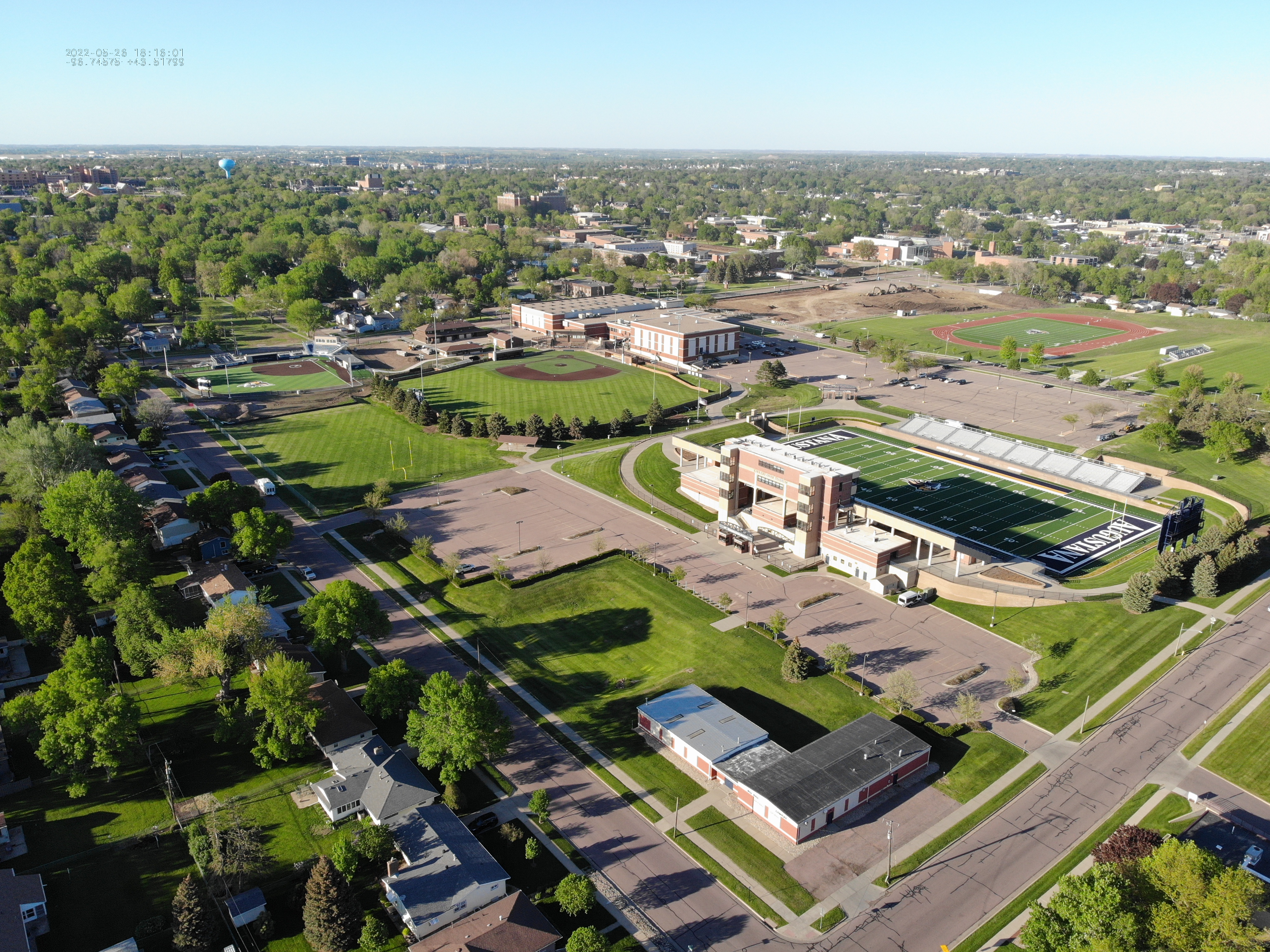
Commercial Real Estate Photography
Showcase commercial properties with detailed aerial imagery that highlights location, amenities, and infrastructure.
Request Service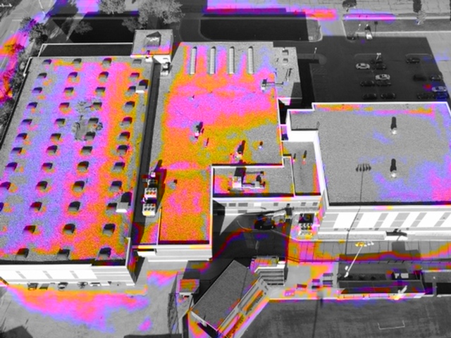
Construction Site Monitoring
Monitor construction progress with aerial updates, making it easier to manage projects and present progress reports.
Request Service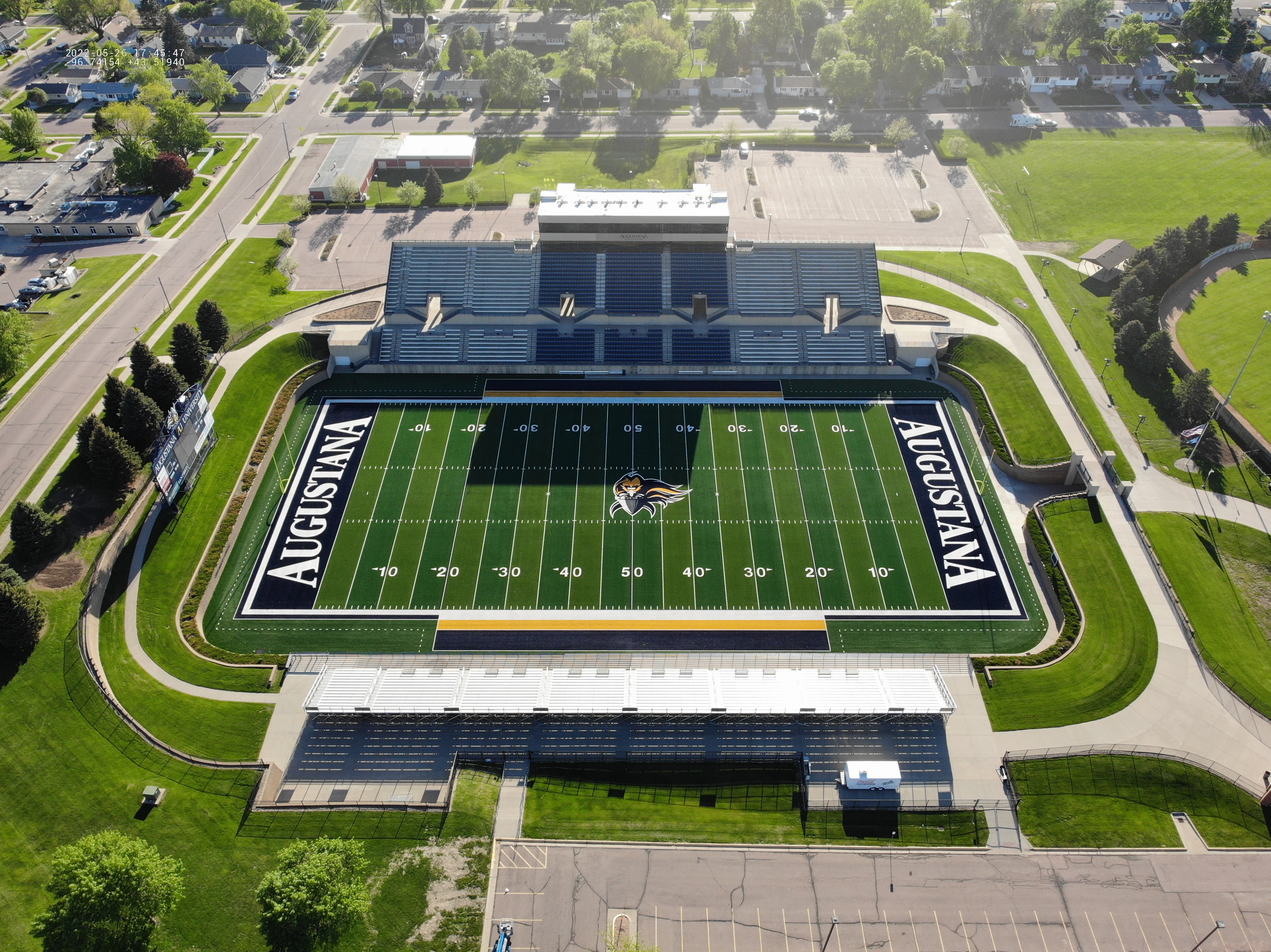
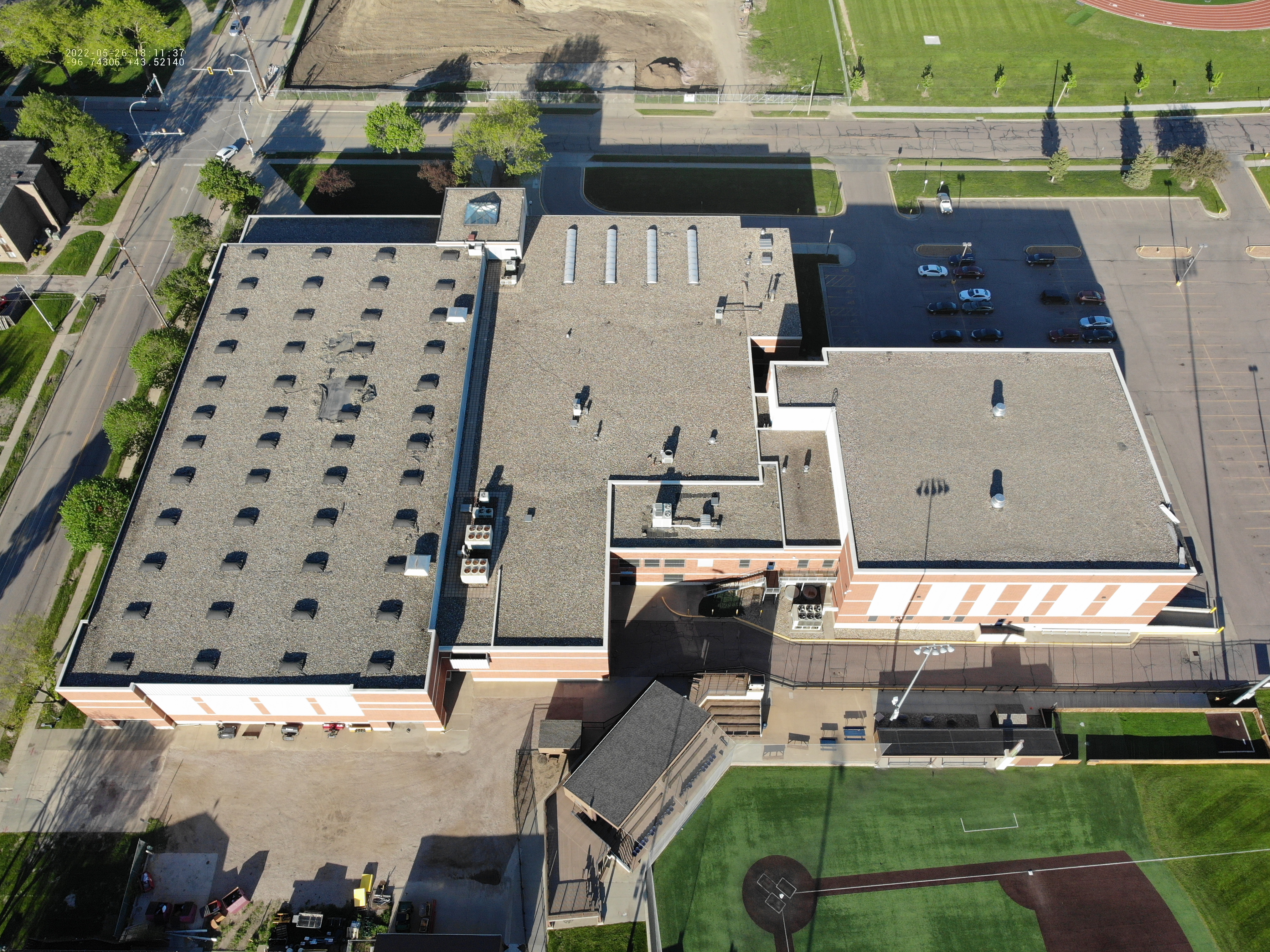
Drone Inspection Services
We provide drone inspection services for critical assets, offering high-resolution images for accurate data collection.
Request Service
Orthomosaics & Aerial Survey
Get high-resolution orthomosaic mapping for large properties, enabling accurate area, volume, and distance calculations.
Request Service
Data Capture & Analysis
Our data analysis services provide valuable insights through 3D models and aerial surveys to help you make data-driven decisions.
Request Service
Emergency Response Solutions
We work with emergency response agencies to develop customized protocols before incidents occur. We leverage our advanced thermal imaging capabilities, rapid deployment systems, and specialized aerial equipment to provide crucial support. Contact us to establish a response plan tailored to your department's needs.
Request Service